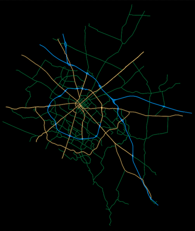
If you’re a data enthusiast or GIS professional, you’ve probably heard of OSMnx, the Python package that lets you effortlessly download boundary and street networks from OpenStreetMap (OSM). In this Github repository, we’ll explore how to use OSMnx to acquire OSM data for a specific location and add a splash of color to the road network within that area.
View the Github Repository.